Drone 3D SURVEY Industrial and Civil

Client
–
Activity
–
Date
2020
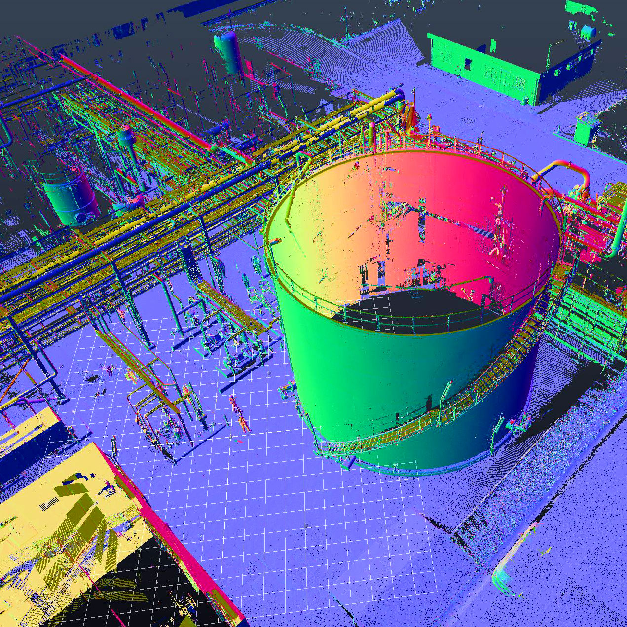
DG Impianti SpA has developed an advanced survey procedure that allows to obtain point clouds without using the traditional 3D laser-scanner.
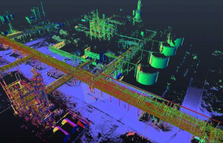
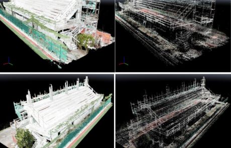
Overlays high definition photos, taken from different heights and angles. The post-processing phase and the dedicated software obtain the relative point cloud from the depth of the images. The generated file is a point cloud that can be imported into the most common 3D vector and Database Centric processing and drawing programs (Intergraph, Aveva, Autodesk , etc.), already used by the main Oil Companies. 3D modeling, using the background of COLOR point clouds, therefore allows to have a clear and unequivocal guidelines on the state of the facts in field.
This improved technology is applicable in both civil and industrial field reducing time and related costs.


